
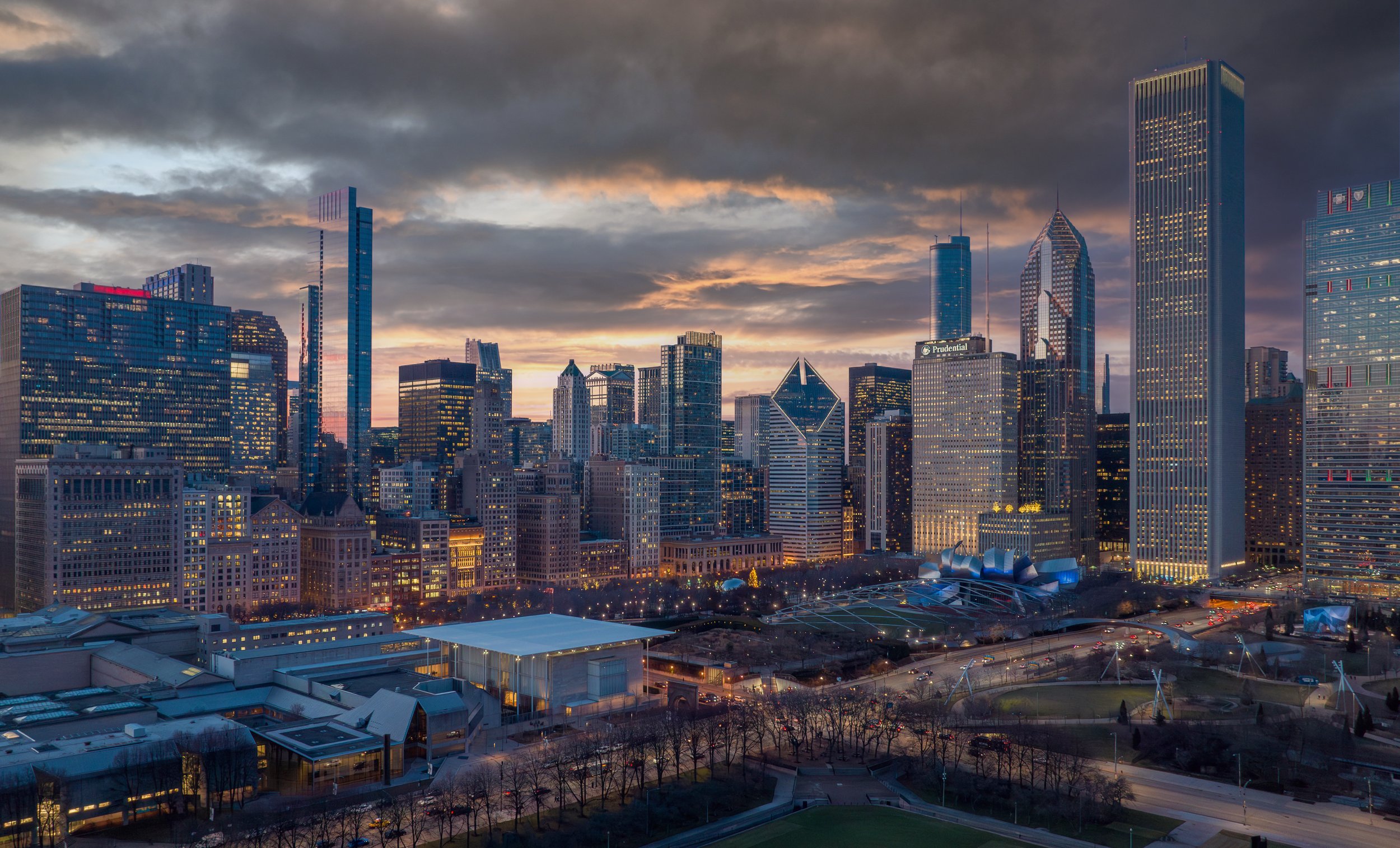
Real Estate Drone Photography in Chicago
Frequent Drone Questions
Why should I hire a licensed FAA drone pilot?
You are required to have a current FAA Part 107 drone pilot license to fly commercially. If you’re found to be flying your drone commercially without a license, you can face steep fines to the tune of $32,666 and up. Sometimes the penalties can be quite substantial. All of our drones meet FAA regulations and are registered with the FAA. Licensed drone pilots can obtain approval to fly in restricted airspace in order to complete projects. We have licensed commercial drone pilots for your project.
The cost of drone photography?
Simple drone photography projects can run under $200.00. We also do exterior, interior and drone photography as well as videography. We can offer fully edited projects for you to distribute including graphics, music, and text completely optimized for social media and all widescreen formats.
What video formats do you support?
We can shoot your video up to 5.1k at 50FPS, 4K up to 120 FPS. We support Apple ProRes 422 HQ, Apple ProRes 422, Apple ProRes 422 LT, H.264 and H.265. We will optimize your video for your Website and Social Media. Per request, we will add audio and graphics to your video for widespread distribution.
How long until you can complete my project ?
Same day response guarantee on all inquires via our website, email, or calls. Depending on weather, we can typically turn around your project within a couple days.
What is Photogrammetry and Lidar Scanning?
Most often utilized for construction projects and land development, drone photogrammetry involves capturing large volumes of 2D images over a geographical area and compiling them to create 3D topographical models and orthomosaic maps—or images created from collections of photographs.
In effect, drone photogrammetry makes it possible to see the same ground point from different angles and elevations. From there, we create a 3D map that includes a range of helpful visual cues, like color and texture.
Companies are increasingly using it with drones to produce high-quality surface maps for public and private lands. Lidar can be more accurate in some circumstances and performs better in poor lighting conditions